Technologies for land analysis and management
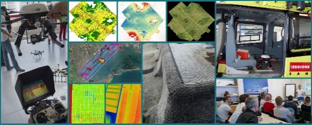
Entrust your territorial analysis to those who transform data into decisions. AIRMAP is the technical and consulting partner for public agencies, companies, and professionals seeking advanced solutions in remote sensing, drones, and geographic information systems (GIS).
We offer strategic and operational support for:
• Environmental and agricultural monitoring
• Land analysis and urban planning
• 3D modeling and photogrammetric surveys
• Geospatial data integration and management
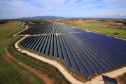
• Troubleshooting and assessment of the condition of photovoltaic panels through thermal imaging
• IoT system integration and management
With AIRMAP, technology isn’t just a tool: it’s a vision.
Contact us today for a personalized consultation and discover how we can enhance your project with tailor-made solutions.
EMAIL: info@airmap.it
TEL: +39 393 055 4962
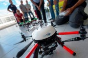
RPAS FLEET
Airmap si avvale di SAPR con tipologie ed equipaggiamenti diversificati per il tipo di applicazione: camere elettro ottiche, multi spettrali, termiche che trovano il loro impiego in svariati settori tra […]

NORMATIVA
Normativa Europea – EASA Regolamento (UE) 2019/947: definisce le regole operative per l’uso dei droni (UAS). Regolamento Delegato (UE) 2019/945: stabilisce i requisiti tecnici e di marcatura CE dei droni. […]
CONSULENZA
AIRMAP fornisce su specifica richiesta consulenza nel settore dei droni/UAV/SAPR in merito a : Fotogrammetria Ricostruzione 3D del territorio Indagini e verifiche impianti attraverso termografia Processi di certificazione degli UAV […]


